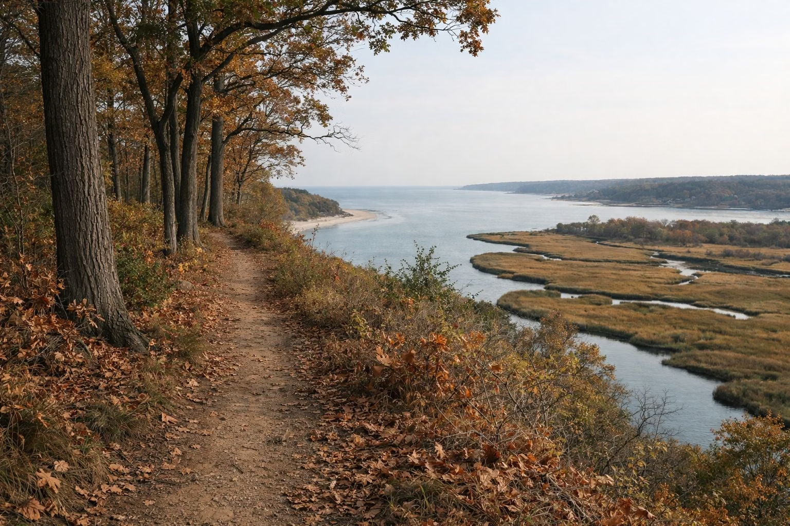
Long Island Greenbelt Trail
The Long Island Greenbelt Trail is a 31.8-mile hiking trail that starts at Sunken Meadow State Park on Long Island Sound and crosses Long Island to Great South Bay, following the Nissequogue and Connetquot rivers. NYS Parks calls Sunken Meadow the trail's northern terminus, and 2.5 miles of it lie inside the park. It has been walked since 1978 and was certified a National Recreation Trail on February 4, 1982. It is free to walk; the park's vehicle fee applies if you park at Sunken Meadow.
The Greenbelt at a Glance
The Route
The National Recreation Trails database describes the Greenbelt as a roughly 32-mile route "from Long Island Sound to Great South Bay": bluffs and beaches, ponds and pines. From Sunken Meadow it runs along the Nissequogue River, passes through Caleb Smith State Park Preserve and Connetquot River State Park Preserve, crosses the Ronkonkoma Moraine, and ends at Heckscher State Park on the South Shore. The trail conference's office is at Blydenburgh County Park, on the way.
Starting at Sunken Meadow
Sunken Meadow is the natural place to begin a southbound walk, with the Sound behind you. Inside the park the trail map shows 2.5 miles of Greenbelt (marked GB). South of the park, NYS Parks says the trail parallels the Nissequogue River through Nissequogue River State Park, with views of the river and the Sound from the top of the bluffs. The Long Island Greenbelt Trail Conference runs guided walks that link the two parks; its directions use Exit SM4E off the Sunken Meadow Parkway.

What to Expect
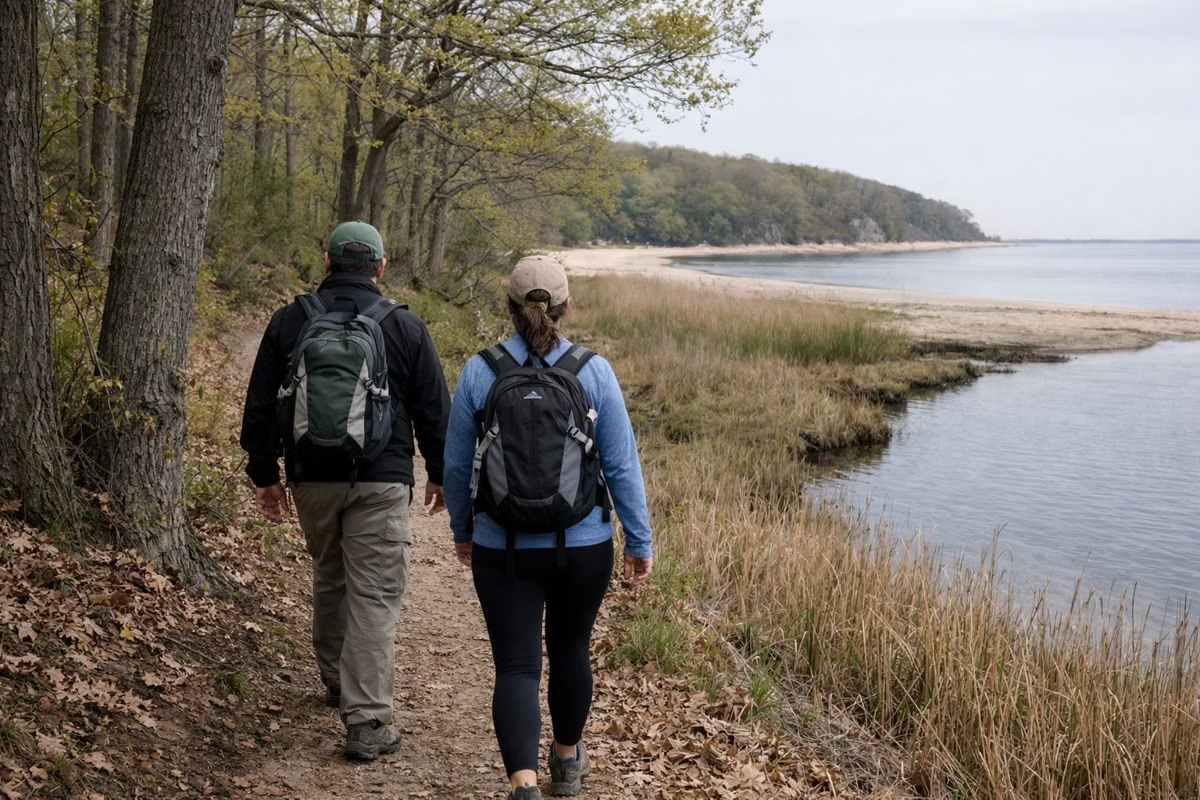
- Surface: mostly soil, with boardwalk, grass and sand stretches, according to the national trails database.
- Hiking only: the database warns that Greenbelt trails are maintained as hiking trails unless marked as multi-use.
- Hills: the north end is hilly, with bluffs over the Sound and the river. Further south the route turns to ponds and pines.
- Distance: 31.8 miles end to end. Plan water, daylight and a pickup at the far end.
Good For
- Section hikes from Sunken Meadow to Nissequogue River State Park or Caleb Smith.
- A full traverse of Long Island on foot, north shore to south shore.
- River views along the Nissequogue.
Maybe Skip If
- You want a short loop: use the park's own trails on the hiking page.
- You are cycling: the Greenbelt is a hiking trail; ride the park roads instead.
- You are bringing a dog to Sunken Meadow: dogs cannot use the park entrance. See dogs for the east-end trails where leashed dogs are allowed.
Parks Along the Way
- Sunken Meadow State Park: the start. Beach, boardwalk and restrooms in season.
- Nissequogue River State Park: bluffs, the river and a canoe and kayak launch. See the Nissequogue River page.
- Caleb Smith State Park Preserve: 543 acres in Smithtown, open Tuesday to Sunday. See Caleb Smith.
- Connetquot River State Park Preserve: 3,473 acres with 50 miles of trails, according to NYS Parks.
- Heckscher State Park: the south end, on Great South Bay.
Maps and Guided Hikes
The Long Island Greenbelt Trail Conference is the nonprofit that built and looks after the trail. It says it has created more than 200 miles of hiking paths on Long Island, including three National Recreation Trails, and leads more than 200 free guided hikes a year. Its website lists upcoming hikes; the NYS Parks map covers the Sunken Meadow section.
Ticks and Safety
NYS Parks warns that deer ticks are common in wooded areas and lone star ticks live in tall grass and dunes. Carry water, tell someone your plan for a long section, and note that Sunken Meadow closes at sunset.
Long Island Greenbelt Trail FAQ
How long is the Long Island Greenbelt Trail?
31.8 miles, according to the National Recreation Trails database, usually rounded to 32 miles, from Sunken Meadow State Park to Heckscher State Park.
Where does the Long Island Greenbelt Trail start?
At Sunken Meadow State Park in Kings Park, on Long Island Sound. NYS Parks calls the park the trail's northern terminus.
Is the Long Island Greenbelt Trail a National Recreation Trail?
Yes. It was certified on February 4, 1982, and hikers have used it since 1978.
Can you bike the Long Island Greenbelt Trail?
It is maintained as a hiking trail. Bikes are allowed only where a section is marked multi-use.
Who maintains the Greenbelt Trail?
The Long Island Greenbelt Trail Conference, a nonprofit that also leads free guided hikes.