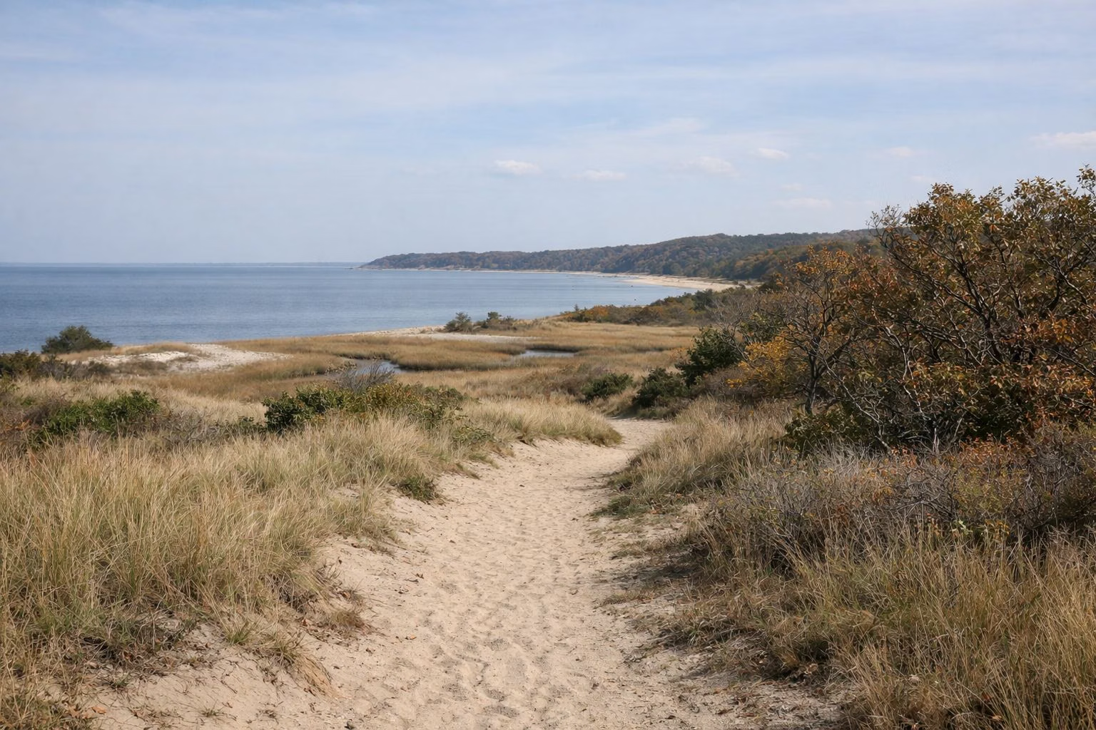
Sunken Meadow Trail Map
The official NYS Parks trail map for Sunken Meadow State Park shows five trail lines totalling 14.1 miles: the Dune Trail (3.3 miles), the park's stretch of the Long Island Greenbelt Trail (2.5 miles), the Wetland Trail (1.3 miles), the Bridle Path (1.0 mile) and 6.0 miles of unnamed trails. The ¾-mile boardwalk is shown separately. Download the map from the NYS Parks park page before you go; there is no fee to use the trails beyond the vehicle fee.
Trail Distances (NYS Parks Map)
Trail Distances
The map's own "Trail Distances" box gives these figures, and they are the only official mileages for the park:
- Dune Trail (DT): 3.3 miles. The longest named trail on the map.
- Greenbelt Trail (GB): 2.5 miles inside the park. Sunken Meadow is the north end of the 31.8-mile Long Island Greenbelt Trail.
- Wetland Trail (WT): 1.3 miles.
- Bridle Path (BP): 1.0 mile. The only trail open to horses, reached from Field 5, with a permit.
- Unnamed trails (UN): 6.0 miles.
NYS Parks prints a warning with the map: all boundaries and trails are shown as approximate, and trail conditions change.
What the Map Legend Shows
The legend marks parking areas, the park office, public restrooms, the concession stand, a first-aid station, a contact station, kiosks, gates, playgrounds, a basketball court, softball fields, a boat launch and a hand-boat launch, bridges, scenic views, trailheads, marked and unmarked trails, a cemetery, beach, boardwalk, wetland, and land belonging to other state parks and the town. Ten-foot contours show how hilly the wooded southern part of the park is.
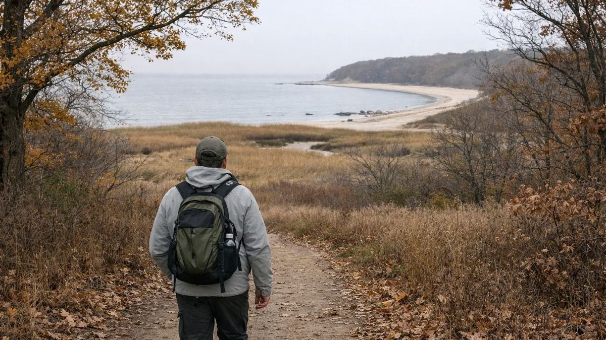
Reading the Map on the Ground
Three bridges cross Sunken Meadow Creek between the beach side and the wooded hills; NYS Parks calls them out in its description of the park, and they show on the map. The creek runs from the interior of the park to tidal flats at the mouth of the Nissequogue River, at the east end. The golf courses take up much of the wooded interior; cross-country skiers are told to keep off them in winter.
The Long Island Greenbelt Trail Conference runs guided hikes here that start at the east end; its directions say to take the Sunken Meadow Parkway north to Exit SM4E.
Who Can Use Which Trail
- Hikers: every trail, all year, sunrise to sunset.
- Horses: Bridle Path only, permit required. NYS Parks says horses are not permitted in the picnic area or on the cross-country trails.
- Cyclists: around the park all year, sunrise to sunset; the boardwalk only at set times (see the boardwalk).
- Runners: the cross-country course is used by schools and clubs under permit. See cross country.
- Dogs: not in the park; leashed dogs only on the east-end back trails reached from Old Dock Road. See dogs.
Emergency Numbers From the Map
- Park office: (631) 269-4333
- Golf course: (631) 269-5351
- Long Island Regional Office: (631) 669-1000
- State Park Police: (631) 321-3700
- Emergency: 911
NYS Parks asks visitors to report any accident or incident to park police straight away.
Sunken Meadow Trail Map FAQ
How many miles of trails are at Sunken Meadow?
The NYS Parks map lists 14.1 miles: Dune Trail 3.3, Greenbelt 2.5, Wetland 1.3, Bridle Path 1.0 and 6.0 miles of unnamed trails, plus the ¾-mile boardwalk.
Where can I get a Sunken Meadow trail map?
NYS Parks publishes it as a PDF on the official park page. It was produced by the agency's GIS Bureau in August 2023.
Can you ride horses at Sunken Meadow?
Yes, with a permit, on the bridle trail in Field 5 only.